WebGIS Desa — Village Spatial Data Platform
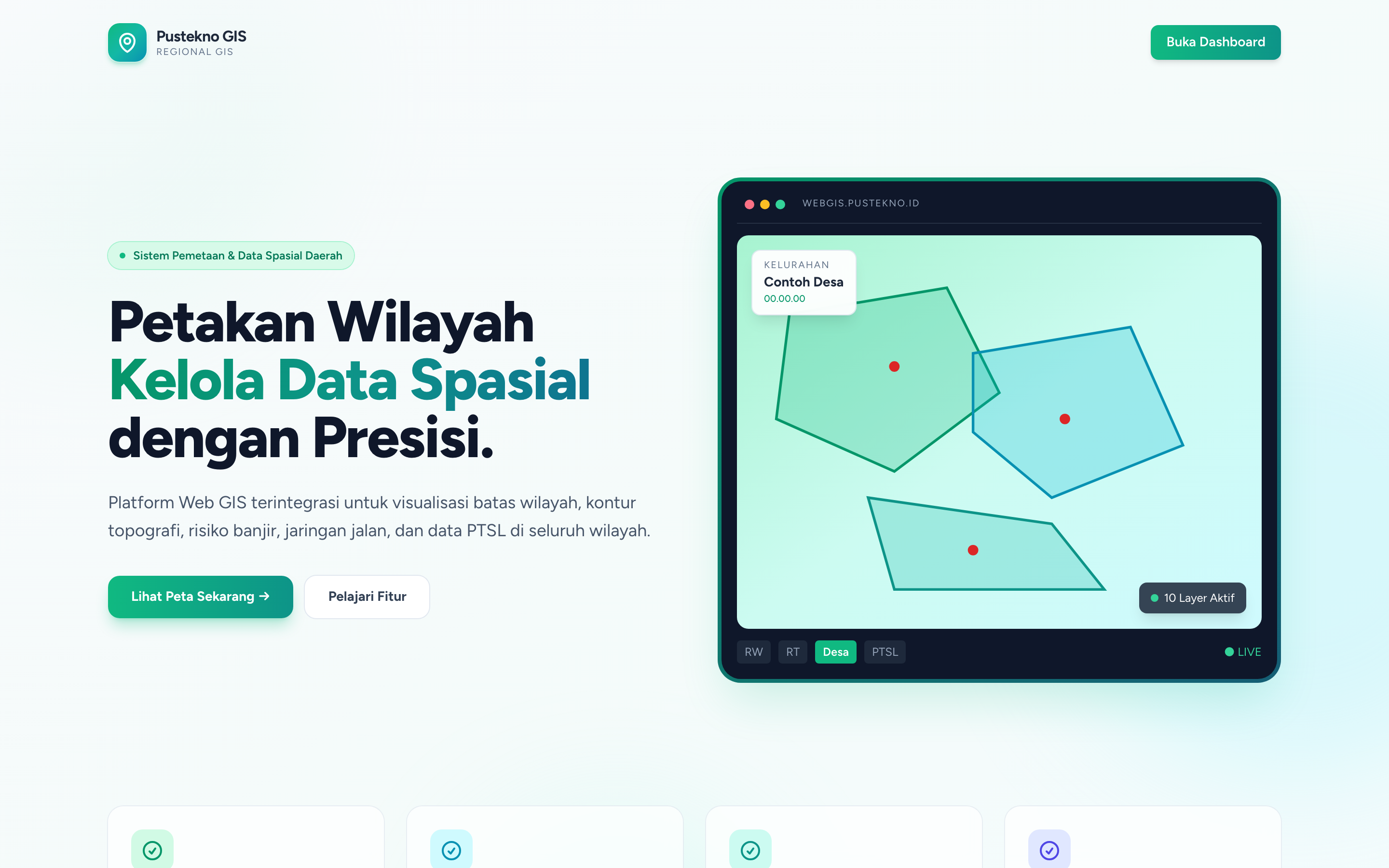
A WebGIS for villages and districts: boundaries down to hamlet, RW, and RT, roads, contours, flood hazard, land cover, PTSL parcels, and monuments, with KMZ import and embeddable maps per village code.
Screenshots
Overview
What this system does.
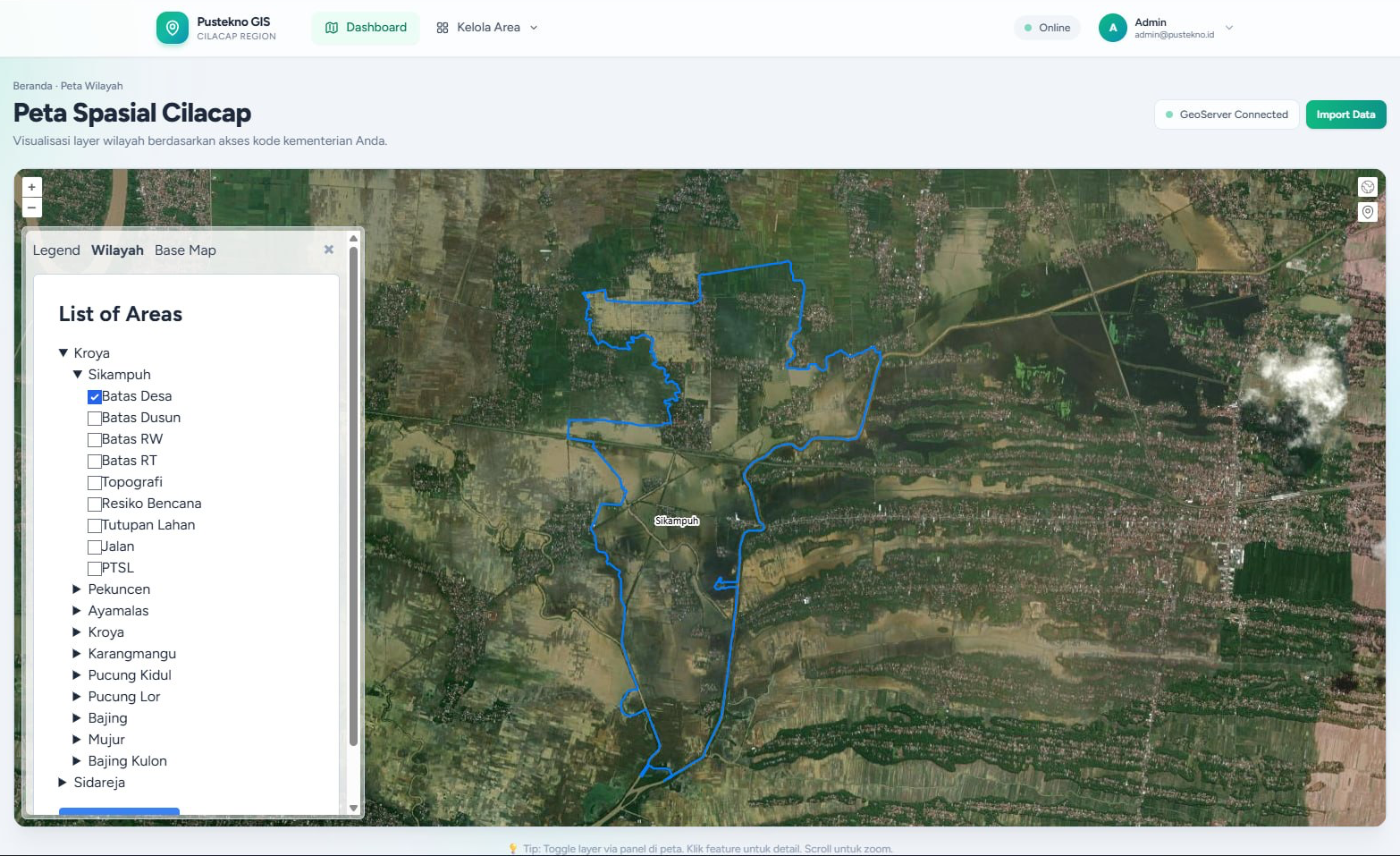
WebGIS Desa gathers a region’s spatial data in one place. Administrative boundaries go down from the village to the hamlet, RW, and RT, and are joined by roads, topographic contours, flood hazard zones, land cover, PTSL land parcels, and monuments.
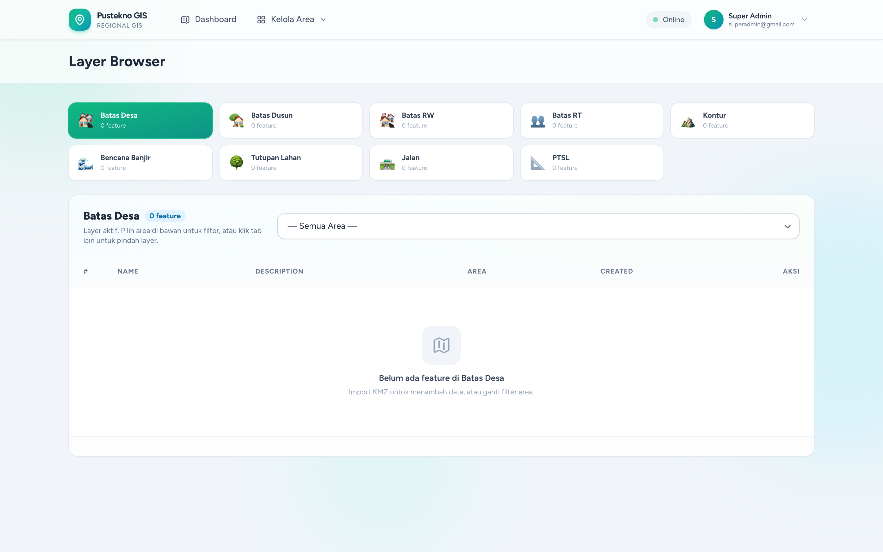
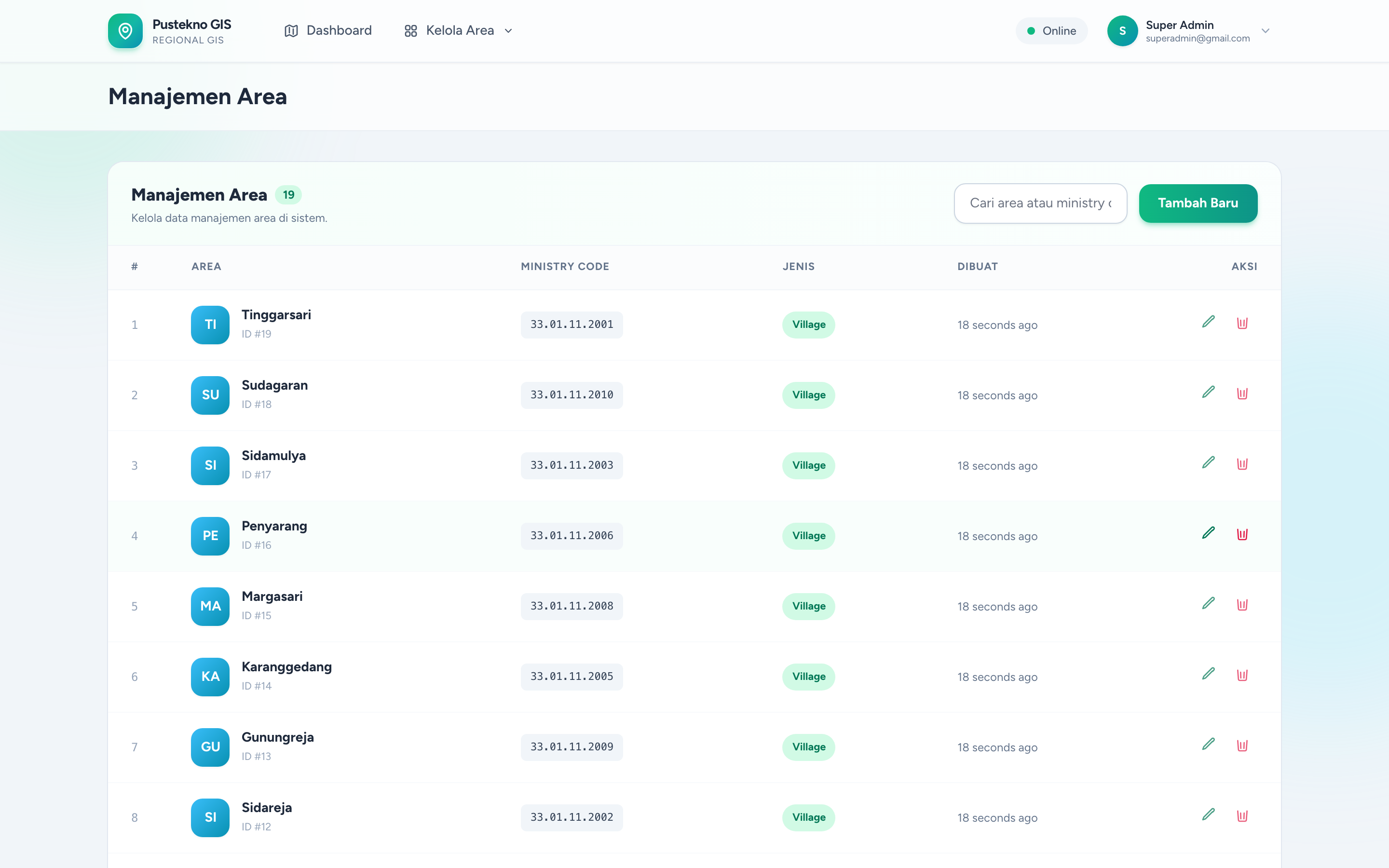
Operators import KMZ files per area and can remove a whole area’s import in one step. Each village code gets an embeddable map and an embeddable import page, so the same data can appear inside a village website. A layer browser, spatial maps per district and village, area types, role and permission management, and an activity log round out the administration side.
The application is built with Laravel 11, Livewire 3 with Volt, PostGIS, and OpenLayers, with GeoServer publishing layers. It is a Pustekno team project where I contributed alongside the lead developer.
Feature inventory
Highlights
11 capabilities verified against the project source.
- Boundaries for village, hamlet, RW, and RT
- Road, contour, flood hazard, land cover, PTSL, and monument layers
- KMZ import per area
- Bulk delete of an area’s imported data
- Embeddable map per village code
- Embeddable import page per village code
- Layer browser
- Spatial maps per district and village
- Area type management
- Role and permission management
- Activity log
Tech stack
Built with 10 technologies.
- Laravel 11
- Livewire 3
- Volt
- PostgreSQL
- PostGIS
- OpenLayers
- GeoServer
- Spatie Permission
- Tailwind CSS
- Alpine.js
Common questions
What people usually ask.
Where does the spatial data come from?
Operators import KMZ files prepared in desktop GIS tools; the application stores them in PostGIS and publishes them as layers.
Can a village website show the map?
Yes. Each village code has an embeddable map, so a village website can include its own boundaries and layers without copying data.
Why PostGIS?
Spatial queries such as which RT a point falls into or how areas overlap run inside the database, which keeps the application simple and fast.
Same field
Related projects.
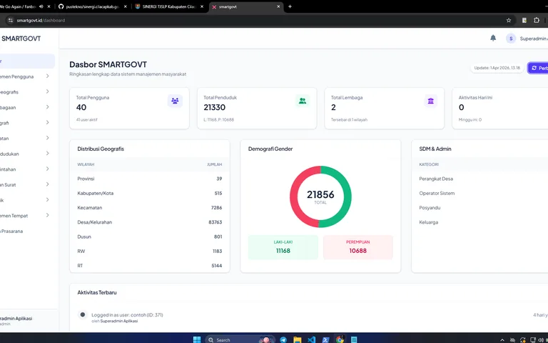
SmartGovt — Village Administration & Services
Village government platform with resident and household records, document services, GIS, regional statistics, RT/RW administration, a citizen portal, and Desa Anti Korupsi (Anti-Corruption Village programme) evaluations.
Laravel 12 · PHP 8.2 · Blade · Alpine.js · +15
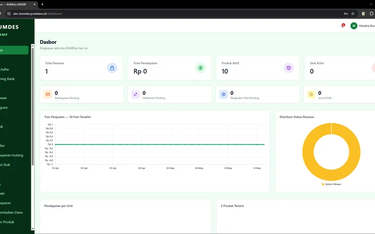
Mekar Cilacap — BUMDes/KMP Portal & Marketplace
A digitisation platform for Cilacap Regency’s BUMDes: a Next.js 16 frontend with a separate Laravel API for entity directories, a product marketplace, cash records and monthly reports, accountability reports, work programmes, and profit sharing.
Next.js 16 · React 19 · TypeScript · Tailwind CSS 4 · +10
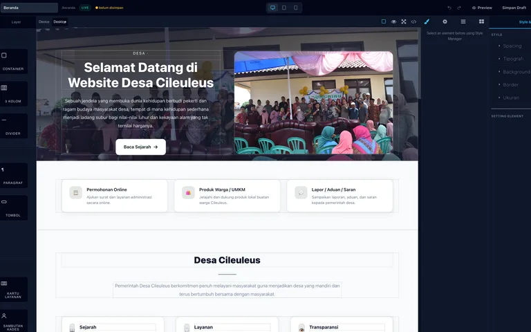
Web Builder — Village Website SaaS
A multi-tenant SaaS platform for village websites: a GrapesJS visual editor, custom domains with on-demand TLS, WordPress imports, SEO analysis, and SmartGovt data integration.
Next.js 15 · React 19 · TypeScript · Laravel 13 · +12